Create your own seabed charts
Olex is a unique survey- and mapping system developed by Olex AS in Trondheim. The system is used,
among other things, in fisheries, aquaculture, port work, and subsea piping. Using GPS and sonar, depth data is collected which is continuously calculated and added to previous measurements.
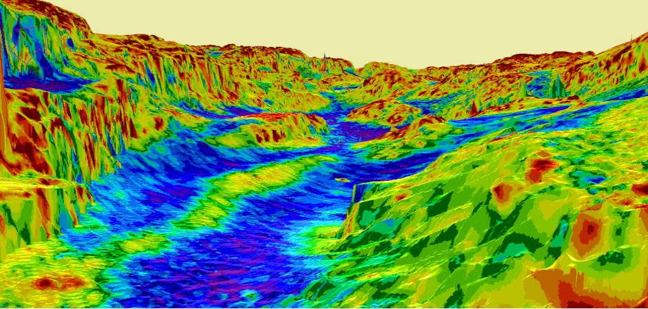
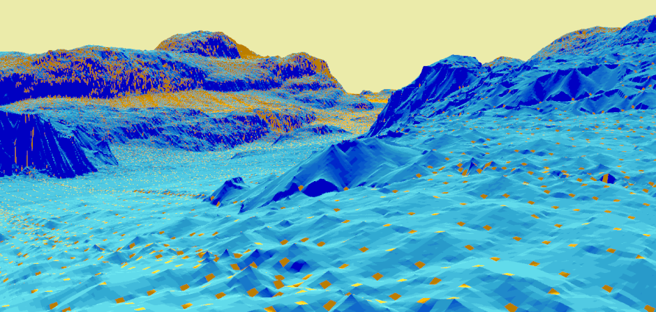
The result is visualized, in real time, as a realistic 3D map of the seabed. The system has advanced navigational features and can be upgraded with software extensions to interface with relevant hardware like AIS, multibeam sonars and trawl/ROV positioning systems.
Portable Olex mapping system, available from our North American distributor.
Mackay Marine in Canada have developed a portable sub sea mapping solution, which can help larger vessels to navigate safer in poorly charted waters.
Strategically deployed scout boats in advance of commercial, research or passenger explorer vessels, communicating conditions to the mothership to ensure safe passage. The system can also be deployed directly on smaller independent vessels.
* Download Mackay's product flyer for specifications and contact information.
* Website: www.mackaycomm.com